Golf course mapping has become an essential tool in the modern golf industry, combining technology, design insight, and geographic data to create highly accurate visual and strategic representations of golf courses. From course architects and groundskeepers to professional players and casual golfers, mapping systems now play a central role in how courses are built, maintained, and played. As technology advances, golf course mapping continues to improve precision, planning, and performance across the sport.
What Is Golf Course Mapping?
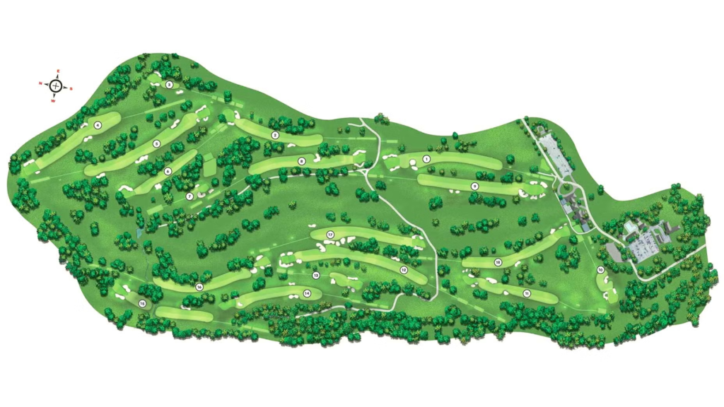
Golf course mapping is the process of creating detailed digital or graphical representations of a golf course’s layout and features. These maps include fairways, greens, bunkers, water hazards, rough areas, elevation changes, yardage markers, and pin locations. Modern mapping uses GPS data, satellite imagery, drone surveys, and geographic information systems (GIS) to achieve high accuracy.
Unlike traditional paper course layouts, today’s mapped courses are interactive and data-rich, allowing users to measure distances, analyze terrain, and plan shots with greater confidence.
Technologies Used in Golf Course Mapping
Modern golf course mapping relies on several advanced technologies working together:
GPS Surveying: High-precision GPS devices are used to capture exact coordinates of tees, greens, hazards, and course boundaries. This ensures distance measurements are reliable for players and designers.
Drone Imaging: Drones capture aerial imagery and elevation data, producing detailed overhead views and 3D terrain models. This is especially useful for redesign projects and drainage planning.
Satellite Data: Satellite imagery supports large-scale golf course mapping and ongoing updates, helping track course changes over time.
GIS Software: Geographic Information Systems organize spatial data into layered maps, allowing managers to analyze turf conditions, irrigation zones, and land use patterns.
Benefits for Golf Course Designers and Managers
Golf course mapping is not only about player convenience — it is also a powerful operational tool.
Design Accuracy: Architects can plan hole layouts with precise measurements and terrain awareness. This leads to more balanced and strategically interesting courses.
Maintenance Planning: Grounds crews use mapped data to manage mowing patterns, irrigation systems, fertilizer application, and turf health monitoring.
Resource Optimization: Mapping helps identify water flow, slope, and soil variation, allowing more efficient use of water and maintenance resources.
Renovation Support: When updating bunkers, reshaping greens, or rerouting holes, accurate maps reduce guesswork and construction errors.
Advantages for Players
For golfers, mapping technology enhances both strategy and confidence on the course.
Precise Yardages: Players can measure exact distances to the green, hazards, and landing zones rather than relying only on markers.
Shot Planning: Interactive maps help golfers visualize each hole and choose smarter club selections.
Performance Tracking: Many golf apps integrate mapped courses with shot tracking, helping players review their rounds and improve decision-making.
Faster Play: Clear distance and layout information reduces uncertainty, which can help maintain pace of play.
Golf Course Mapping in Mobile Apps and Devices
Many golf GPS apps and wearable devices now include mapped courses worldwide. These platforms provide real-time positioning, hole flyovers, and hazard distances directly on a smartphone or watch. Some systems even adjust distances based on elevation and weather factors.
As augmented reality features grow, golfers may soon view mapped overlays directly through smart glasses or on-course displays.
The Future of Golf Course Mapping
The future of golf course mapping is moving toward greater interactivity and predictive insight. Emerging trends include:
- 3D course visualization
- AI-assisted course design adjustments
- Real-time turf condition mapping
- Integrated weather and wind modeling
- Virtual course walkthroughs for training
These innovations will continue to make mapping more valuable for both operations and gameplay.
Conclusion
Golf course mapping has evolved from simple diagrams into advanced digital systems that support design, maintenance, and player performance. By combining GPS, drone imaging, and geographic analysis, mapping technology provides accurate, dynamic views of every hole and hazard. As tools become more sophisticated, golf course mapping will remain a key driver in shaping smarter courses and better playing experiences for golfers at every level.